On patrol: Sampling the Upper Hudson
View more images on our Flickr site
Riverkeeper spent a full day collecting samples along the Upper Hudson Thursday, in partnership with Jarrett Engineers. By day’s end we gathered more than 30 samples from 150 miles of the river upstream of the Troy dam.
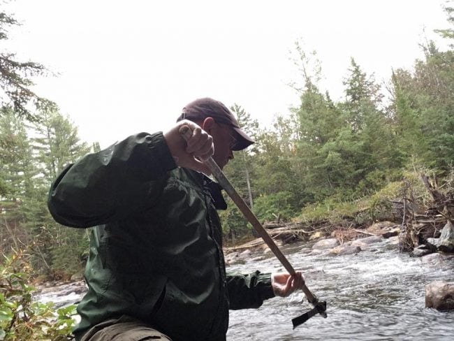
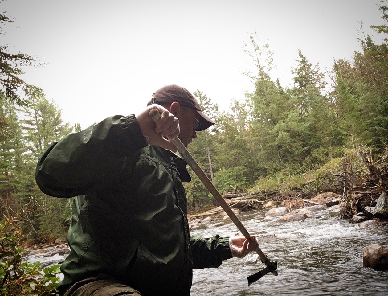
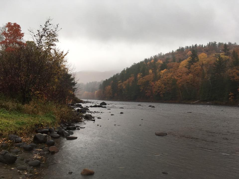
Water Quality Program Director Dan Shapley draws a sample at roughly river mile 305, at the Tahawus Road crossing in the Adirondacks:
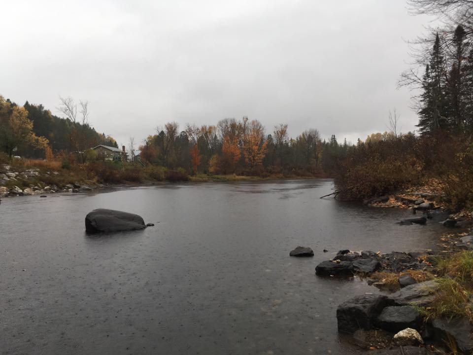
More photos from this beautiful stretch of river:

Riverkeeper’s patrol boat Captain John Lipscomb collected samples along the river between Troy and Fort Edward. He notes: “We can patrol up the Hudson to Fort Edward because of seven dams and locks which are part of the Champlain Canal. Dams are lousy for rivers, they block natural flow and fish migration but the beautiful geometry of water can’t be denied.”
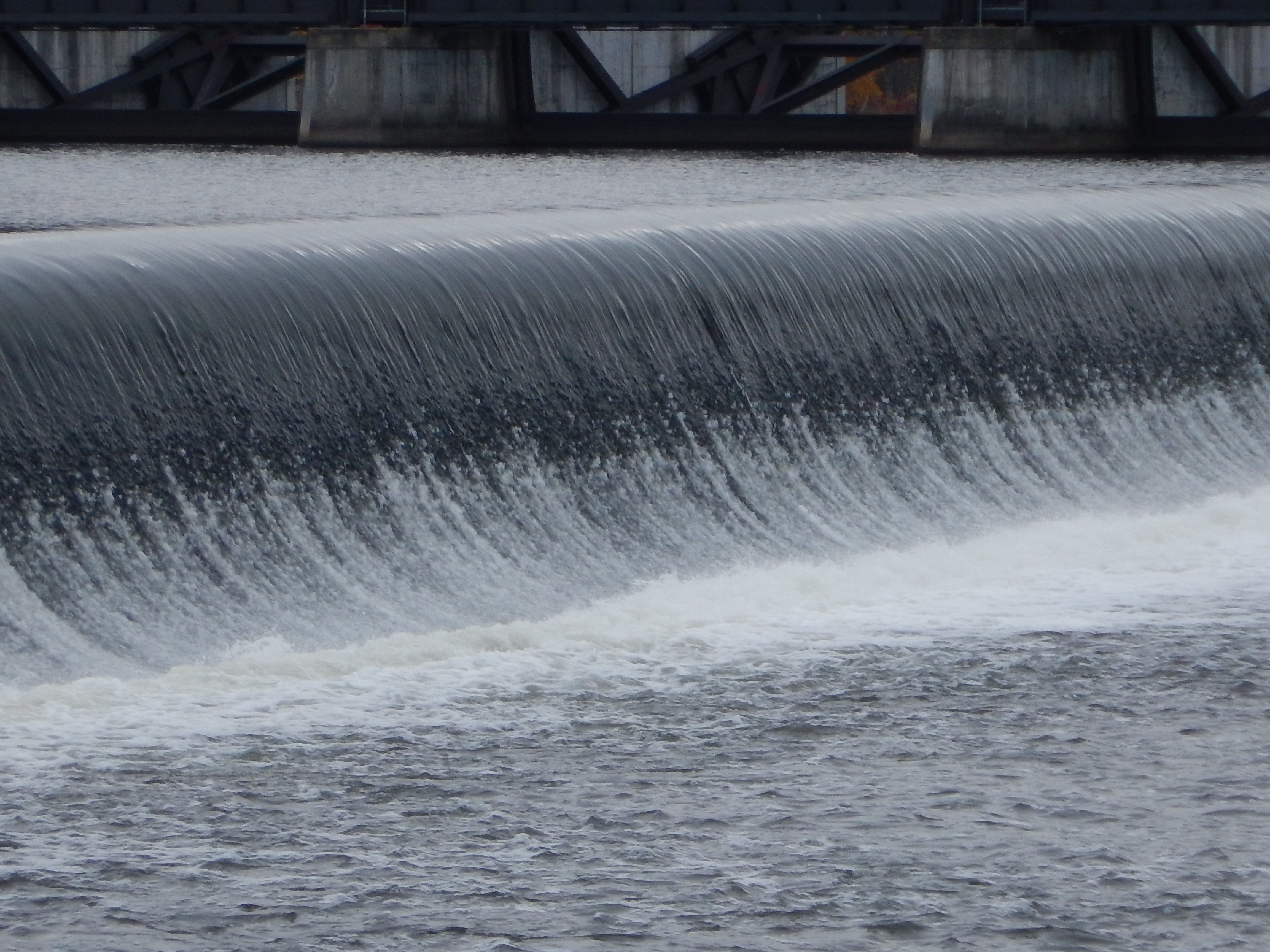
“There are spots where the Canal takes us right across the upper side of a dam…. Oh engine dear engine, don’t fail me now!”

This morning, our patrol boat began the day at Fort Edward before casting off to run back south to Troy. No other recreational boats around anymore. Only commercial traffic hauling crushed stone from a quarry on the Champlain Canal down to NYC. The seasons change but our work continues on.
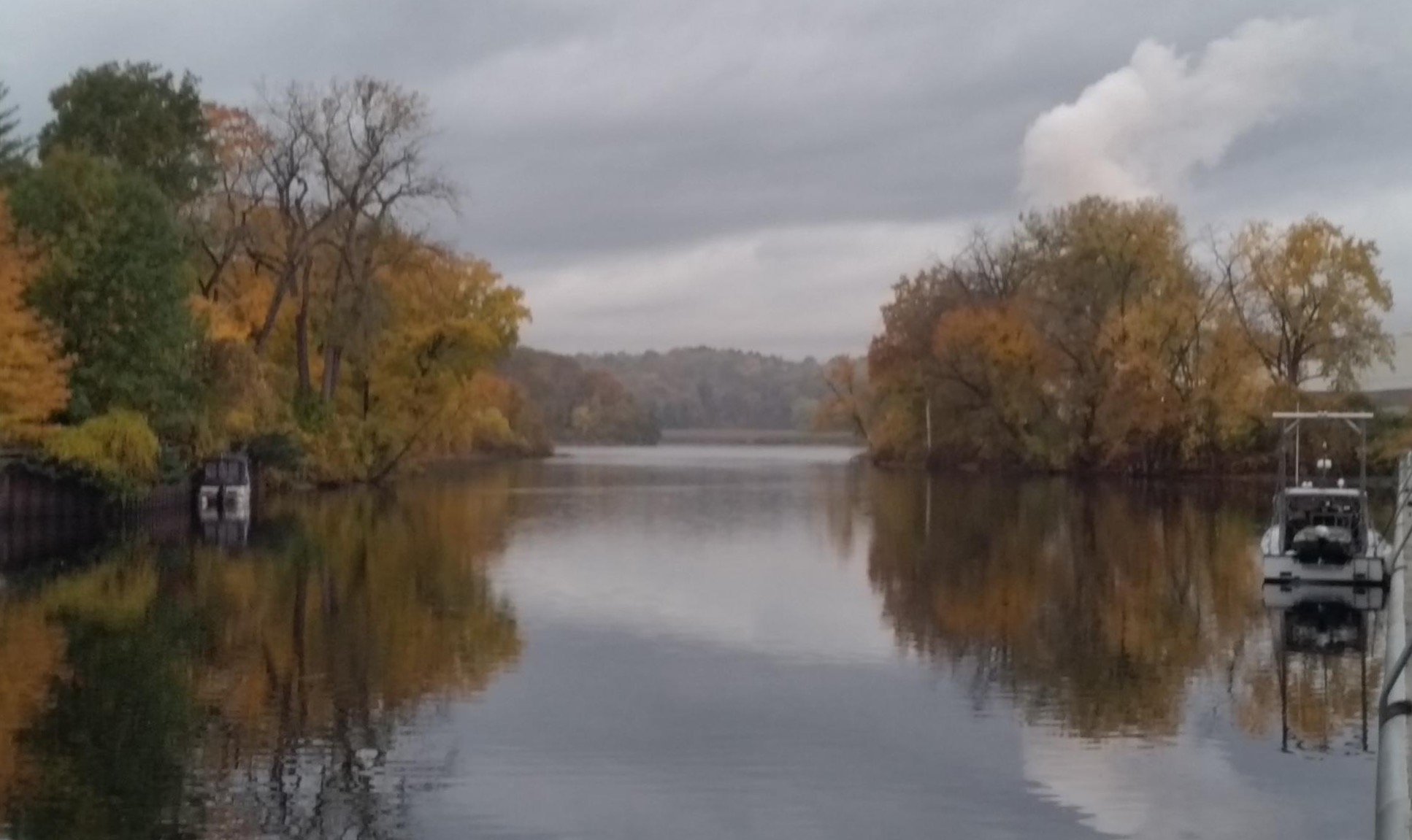
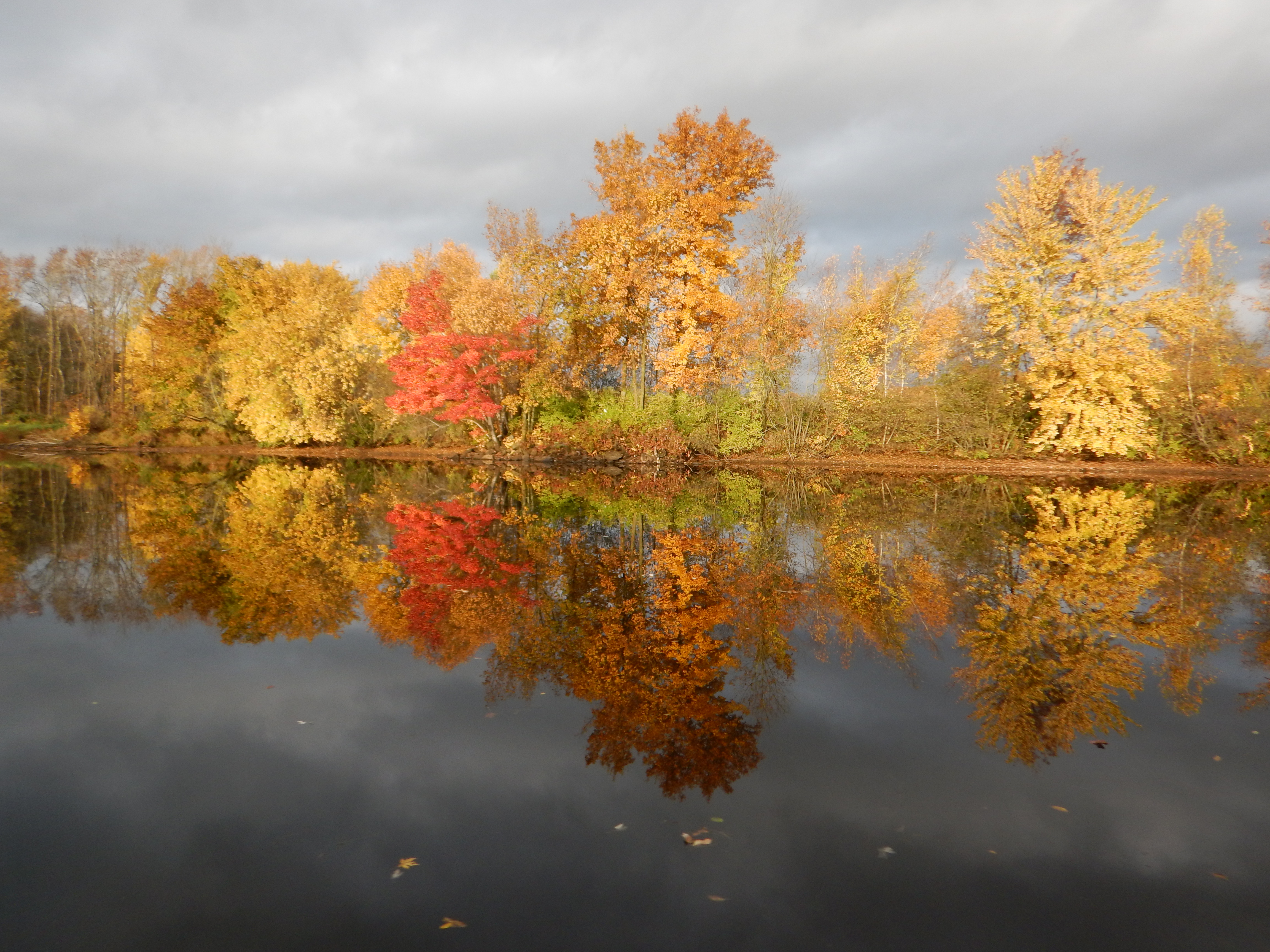
Leaving Fort Edward this morning. Beautiful colors reflected.
Read this earlier post about our work along the Upper Hudson with partners Jarrett Engineers, SUNY Cobleskill, Columbia University’s Lamont-Doherty Earth Observatory and CUNY Queens College: Riverkeeper completes first-of-its-kind survey of Hudson River water quality – starting at the source.