June Water Quality Report: First Upper Hudson Snapshot, Algae and More
In June 2016, Riverkeeper and our partners took water samples at over 350 locations, including a pilot project to explore sampling the Upper Hudson River in partnership with Jarrett Engineers and SUNY Cobleskill – providing our first-ever snapshot of water quality in the 150 miles north of the Troy Dam. We said this last month, we’ll say it again this month, and probably say it again next month: It’s our biggest month of sampling to date.
With continued dry weather, many samples showed water quality that met U.S. Environmental Protection Agency (EPA) guidelines for safe swimming, including every site upstream of the Capital District in the main stem of the Upper Hudson. However, several creeks and rivers that feed the Hudson are running extremely low due to lack of rain, and some showed evidence of contamination, to different degrees. That finding reinforces one of our long-running observations that contamination is often local, and differs significantly from place to place or creek to creek.
We launched a new project with the Wallkill River Watershed Alliance in June, gathering samples to be analyzed for nutrients and algae, and promoting use of a algae observation form, thanks to funding from the NYS Environmental Protection Fund, via the Hudson River Estuary Program. Last year, potentially Harmful Algal Blooms (HAB) made the Wallkill appear bright green around New Paltz, alarming onlookers, and for good reason. Certain strains of the algae found to be present may produce neurotoxins. With the help of Ph.D. scientists Jillian Decker and Neil Bettez of the Alliance’s Science Working Group, we will learn much more about algal blooms, and the conditions that may trigger them.
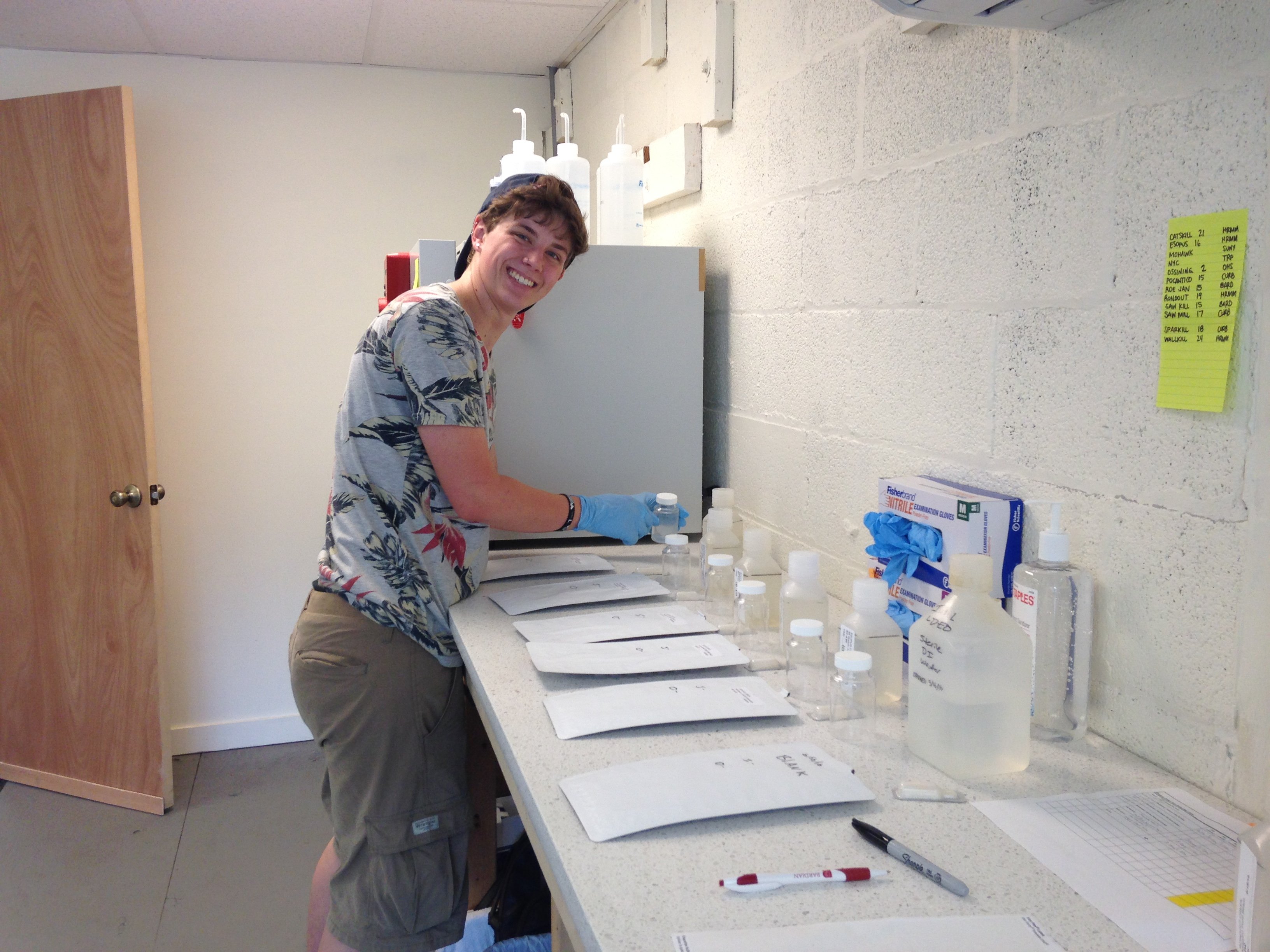
Beckett Lansbury processes samples from the Esopus Creek. (Photo by Dan Shapley / Riverkeeper)
Check out the latest data, and remember that the data show a snapshot in time, and don’t indicate water quality today:
WATER QUALITY DATA
Hudson River EstuaryUpper Hudson Mohawk RiverCatskill CreekRoeliff Jansen Kill Esopus CreekSaw Kill Rondout CreekWallkill River Ossining waterfront Pocantico RiverSparkill CreekSaw Mill RiverNew York City
Thank you
More than three dozen partners make the collection and processing of data possible, with financial or in-kind support and partnership. In 2016, partners include:
The Ashokan Center, Bard College, Brooklyn College, Columbia University’s Lamont-Doherty Earth Observatory, Columbia-Greene Trout Unlimited, Cornell University, CUNY Queens, Environmental Protection Fund (Hudson River Estuary Program and Mohawk Basin Program), Groundwork Hudson Valley, HSBC, Hudson River Improvement Fund, Hudson River Maritime Museum, IDEXX, Jarrett Engineers, John Jay College, JSA Financial, LaGuardia Community College, Leon Lowenstein Foundation, Madison-Oneida BOCES, Middleburgh High School, Montgomery Conservation Advisory Council, New York City Water Trail Association and partners, New York Sea Grant, Ossining High School, Philipp Family Foundation, Pleasantville Conservation Advisory Council, Pocantico River Watershed Alliance, Rochester Environmental Conservation Commission, Rocking the Boat, Roe Jan Watershed Association, Rosendale Commission for the Conservation of the Environment, Sarah Lawrence College Center for the Urban River at Beczak, Saw Kill Watershed Community, Saw Mill River Coalition, Sparkill Creek Watershed Alliance, SUNY Cobleskill, The River Project, U.S. Environmental Protection Agency Office of Research and Development, Wallkill River Watershed Alliance, Wawarsing Environmental Conservation Commission, Westchester Community Foundation, Yonkers Paddling and Rowing Club, and many Riverkeeper members.