Enterococcus (“Entero”) is a fecal indicating bacterium that lives in the intestines of humans and other warm-blooded animals.
Quassaick Creek
Citizen Testing Sites
Water Quality Conditions by Location
| Recent Samples | Historical Statistics | ||||||
|---|---|---|---|---|---|---|---|
| Site Name (Watershed) | Sample Date |
[i]
Entero Count
|
[i]
4 Days Total Rain (in)
4 Days Total Rain (in)The combined rainfall for the day of sampling, prior day, two days prior and three days prior. More than 1/4 inch is considered a “wet weather sample.” |
[i]
Number of Samples
|
[i]
Geometric Mean Geometric MeanA measure of central tendency (a weighted average) used by NYS DEC and the US EPA to assess water quality. The geometric mean is defined as the nth root (where n is the number of samples) of the product of the Enterococcus measurements. A geometric mean over 30 fails the EPA criteria for safe primary contact. |
[i]
Maximum
MaximumThe highest Enterococcus count we have recorded at this site (“>” indicates an unknown number greater than this number and reflects the upper limit of our scoring ability for this sample). |
[i]
Minimum
MinimumThe lowest Enterococcus count we have recorded at this site (“<” indicates an unknown number less than this number and reflects the lower limit of our scoring ability for this sample). |
Individual Entero Counts by Site
Note: multiple counts of the same value will overlap and appear as one dot.
Water Quality*
*Single sample thresholds;
Enterococcus count per 100mL
Prior Four Day Rainfall
(in inches)
Geometric Mean*
*Weighted average of multiple
samples; Enterococcus count
per 100mL
The Quassaick Creek originates in the Town of Plattekill in Ulster County, and then flows south into Orange County. The Creek flows through the Town and City of Newburgh, and then close by the Newburgh-New Windsor boundary before joining the Hudson River south of the Newburgh waterfront. There are substantial wetland and forested areas along the creek corridor in the northern watershed, while the southern watershed is characterized by urban land use.
The Creek’s two major tributaries—Bushfield Creek and Gidneytown Creek—flow roughly parallel to the Quassaick’s main stem to the west and east, respectively. Both tributaries join the main Quassaick Creek in the Town of Newburgh.
The topographical watershed area contains the Chadwick Lake (Town of Newburgh) and Washington Lake (City of Newburgh) drinking water reservoirs. In addition, water from Silver Stream Reservoir (also known as Brown’s Pond), located in the adjacent Moodna Creek watershed, is diverted into the Quassaick Creek watershed at Washington Lake.
SAMPLING PARTNERS
Citizen sampling in the Quassaick Creek watershed was spearheaded by the Quassaick Creek Watershed Alliance, whose members manage the sampling program. Riverkeeper helped the Alliance select sample sites, train citizen scientists and otherwise ensure that data collection is consistent with methods used by Riverkeeper in other tributary watersheds. We will continue to collaborate with QCWA on publishing data, interpreting results and addressing contamination problems identified in the study. QCWA members test the water in the Quassaick Creek watershed twice per month.
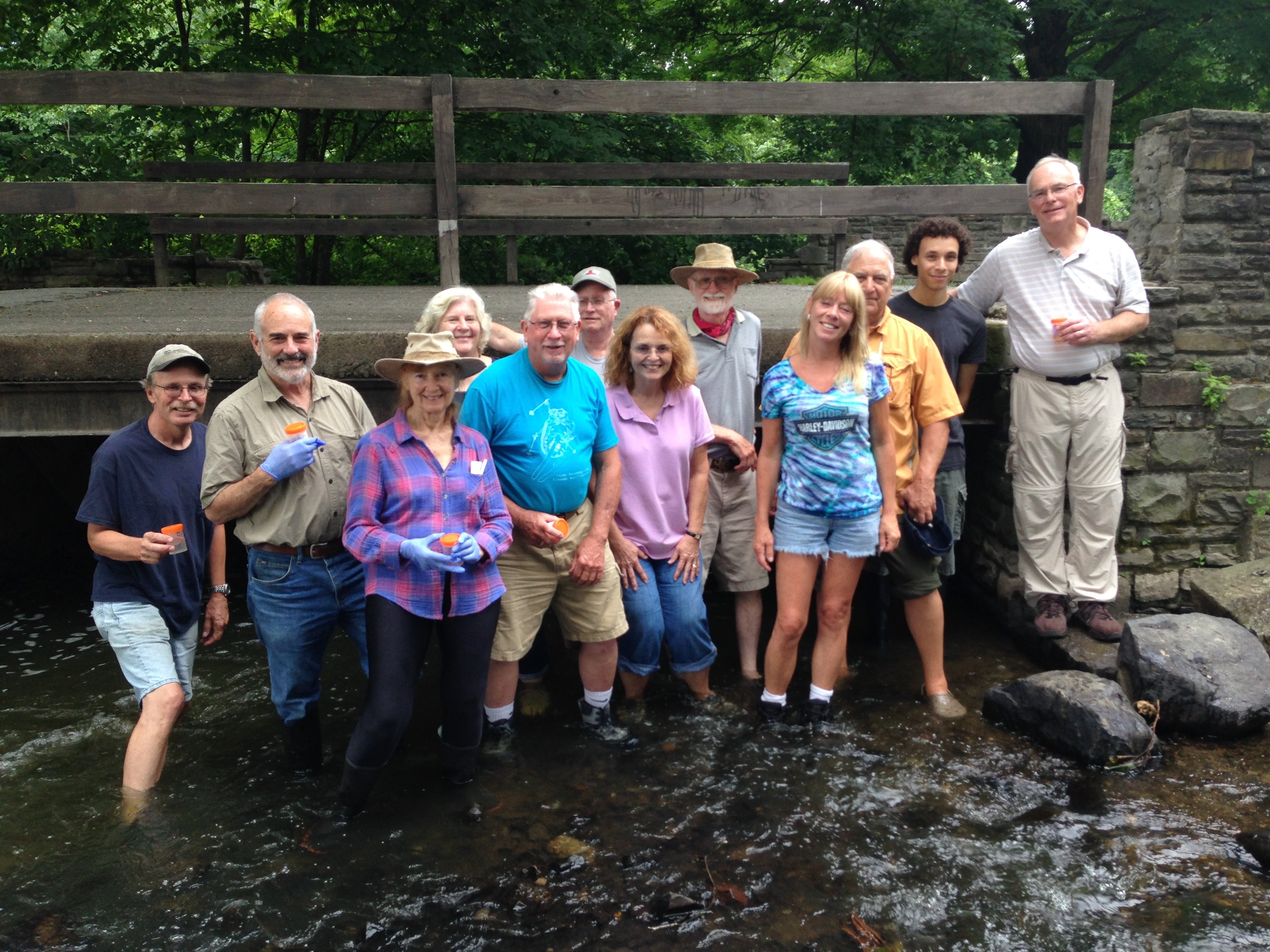
Quassaick Creek Watershed Alliance Citizen Scientists at Algonquin Park
In recent years, the QCWA has focused on creating the Quassaick Creek Watershed Plan, which was completed in June 2014. QCWA’s citizen sampling partnership with Riverkeeper fulfills two of the priority actions identified in the plan—promoting watershed awareness and stream monitoring.