Enterococcus (“Entero”) is a fecal indicating bacterium that lives in the intestines of humans and other warm-blooded animals.
Sparkill Creek
Citizen Testing Sites
Water Quality Conditions by Location
| Recent Samples | Historical Statistics | ||||||
|---|---|---|---|---|---|---|---|
| Site Name (Watershed) | Sample Date |
[i]
Entero Count
|
[i]
4 Days Total Rain (in)
4 Days Total Rain (in)The combined rainfall for the day of sampling, prior day, two days prior and three days prior. More than 1/4 inch is considered a “wet weather sample.” |
[i]
Number of Samples
|
[i]
Geometric Mean Geometric MeanA measure of central tendency (a weighted average) used by NYS DEC and the US EPA to assess water quality. The geometric mean is defined as the nth root (where n is the number of samples) of the product of the Enterococcus measurements. A geometric mean over 30 fails the EPA criteria for safe primary contact. |
[i]
Maximum
MaximumThe highest Enterococcus count we have recorded at this site (“>” indicates an unknown number greater than this number and reflects the upper limit of our scoring ability for this sample). |
[i]
Minimum
MinimumThe lowest Enterococcus count we have recorded at this site (“<” indicates an unknown number less than this number and reflects the lower limit of our scoring ability for this sample). |
Individual Entero Counts by Site
Note: multiple counts of the same value will overlap and appear as one dot.
Water Quality*
*Single sample thresholds;
Enterococcus count per 100mL
Prior Four Day Rainfall
(in inches)
Geometric Mean*
*Weighted average of multiple
samples; Enterococcus count
per 100mL
Enterococcus is an EPA-approved fecal contamination indicator.
Samples taken by citizen scientists and processed at Sarah Lawrence College Center for the Urban River at Beczak, using methods and study designs that are consistent with Riverkeeper’s Hudson River and Community Science programs.
WATERSHED DESCRIPTION
The Sparkill Creek Watershed spans parts of Rockland County, NY and Bergen County, NJ. The watershed is mostly urbanized, although there are pockets of forest. The stream’s headwaters are located in the Palisades at the northern end of the watershed. From there the Sparkill Creek flows south to the hamlet of Tappan, where it is joined by the Sparkill Brook, a tributary stream that flows north from New Jersey. From there, the Sparkill Creek turns back toward the north and empties into the Hudson River at Piermont Marsh, a unique research and recreational resource covering over 1,000 acres.
Read our 2021 data report about the Sparkill Creek Watershed.
SAMPLING PARTNERS
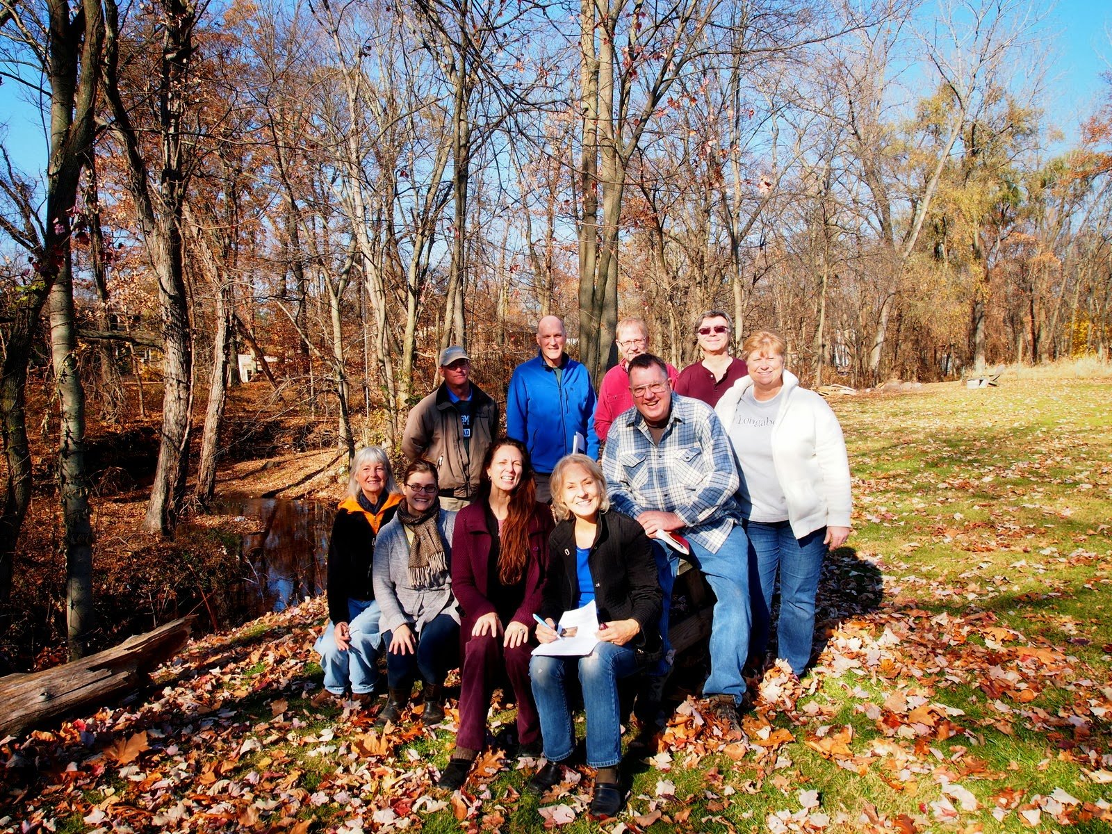 Riverkeeper monitors Sparkill Creek water quality in partnership with the Sparkill Creek Watershed Alliance (SCWA). The group’s mission statement asserts a dedication “to the health, welfare and appreciation of Sparkill Creek.”
Exploratory sampling conducted near the mouth of the Sparkill Creek in 2011 by Riverkeeper’s science partners showed that the Sparkill Creek suffers from extremely high levels of fecal contamination. These results galvanized the SCWA to investigate further by sampling throughout the watershed. The Sparkill Watershed sampling program was one of the first citizen science partnerships undertaken by Riverkeeper, and continues to serve as a model for other watersheds in Riverkeeper’s study.
Sampling in this watershed in 2017 is funded by an EPA Urban Waters Small Grant. Sampling and sample processing procedures for this program are described in the program’s Quality Assurance Project Plan.